What is the definition of land surveying and Why are drones so stable?
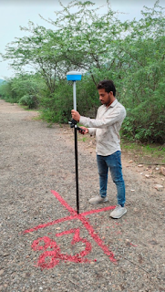
Land surveying is a method of measuring and mapping the physical features of the land, including its shape, boundaries, contours, and location. The process of land surveying has been used for centuries, and it is still an essential tool for a variety of purposes, from designing infrastructure to creating accurate maps and planning urban developments. In recent years, drones have become increasingly popular as a tool for land surveying. Drone survey in India has grown in popularity in recent years, thanks to the increasing availability of affordable drones, as well as the many benefits that drones offer over traditional land surveying methods. One of the primary advantages of using drones for land surveying is their stability. Unlike traditional land surveying methods, which require surveyors to physically move around the area being surveyed, drones can be programmed to fly a pre-determined path over the land. This means that the drone can maintain a consistent altitude and speed, resu...